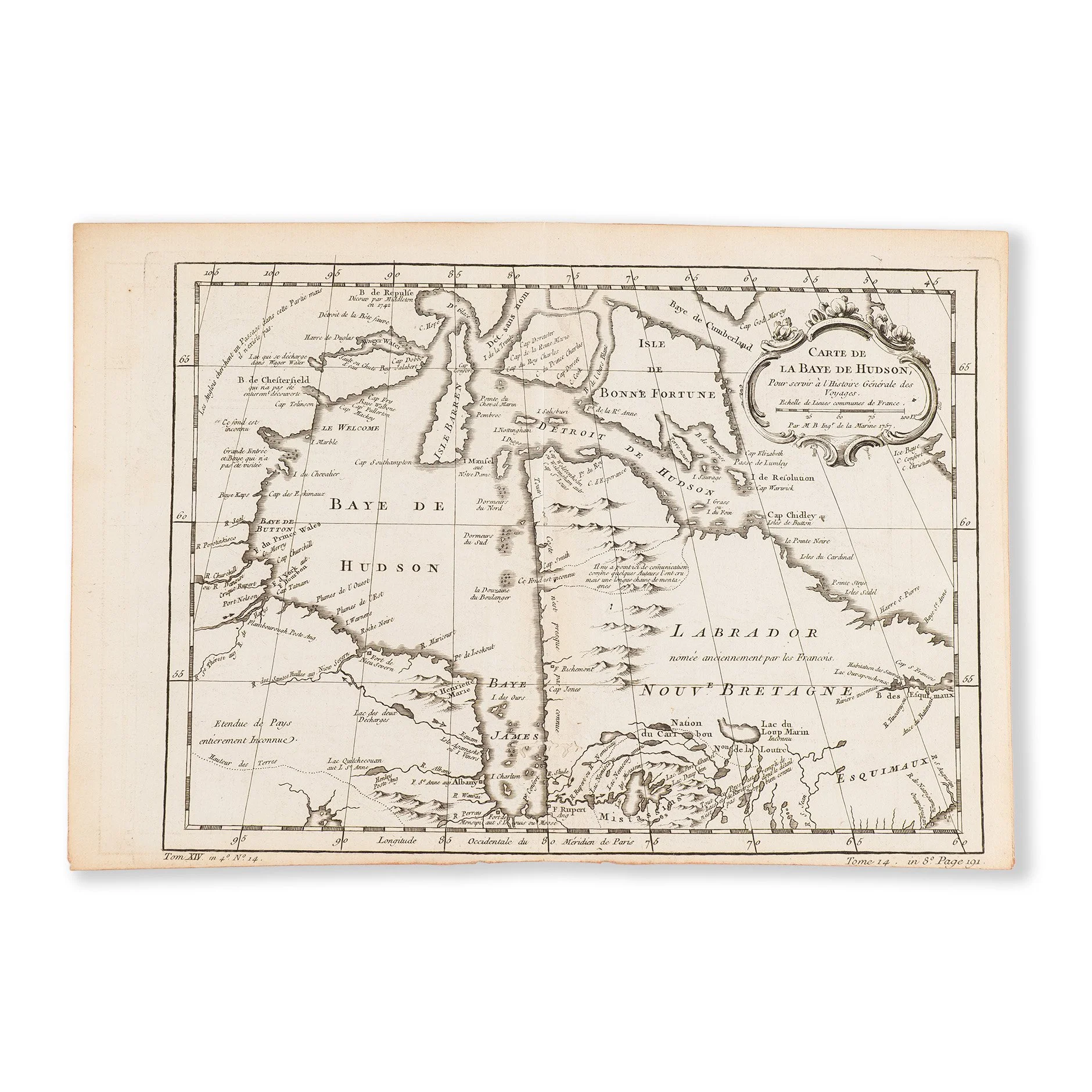
Maps
Jacques Nicolas Bellin (French, 1703-1772) - Carte de La Baye de Hudson (1757)
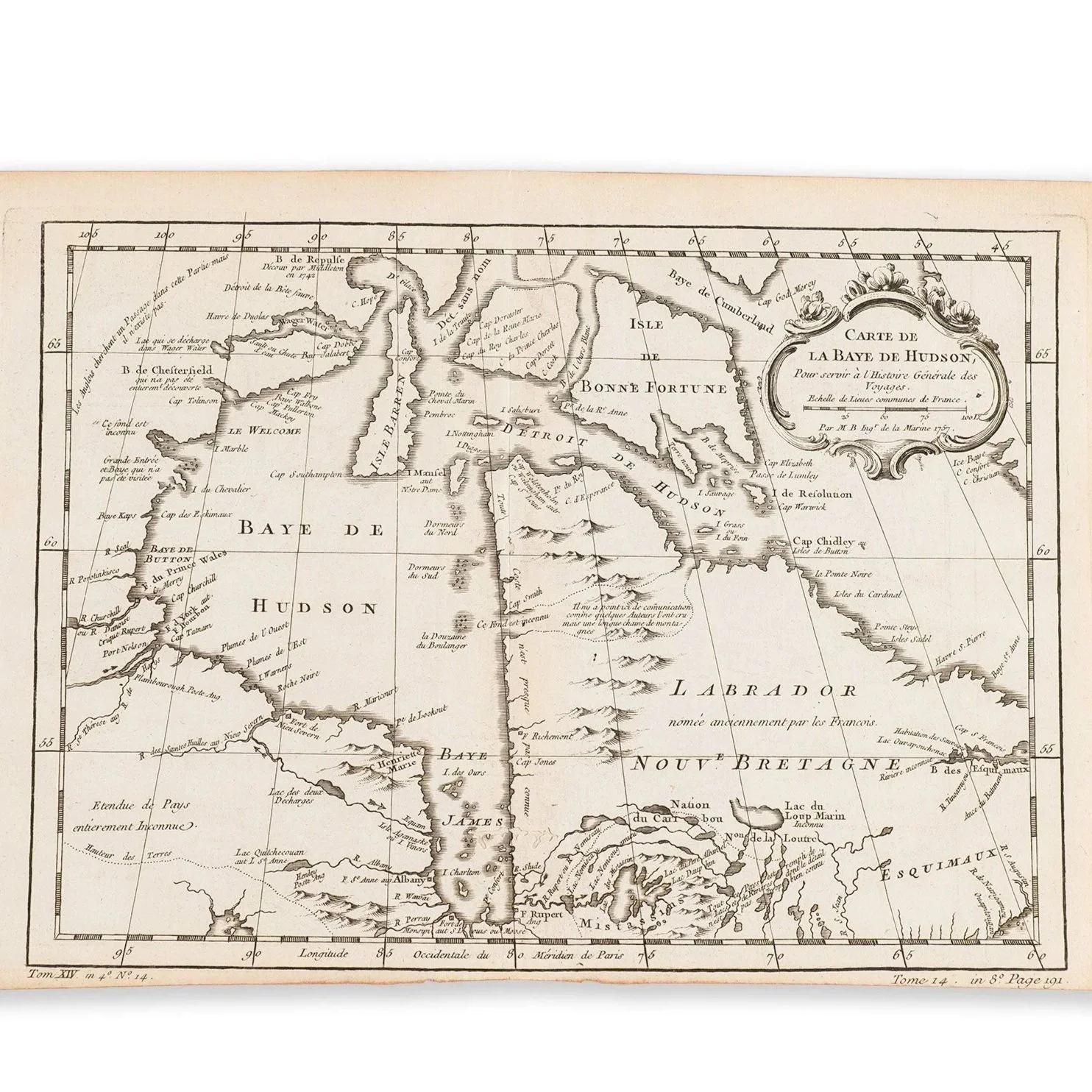
Jacques Nicolas Bellin (French, 1703-1772) - Carte de La Baye de Hudson (1757)
Engraving on laid paper, 9” x 13”, unframed
JACQUES NICOLAS BELLIN (1703-1772)
Jacques Nicolas Bellin was a French hydrographer, geographer, and member of the French intellectual group called the philosophes.
He was born in Paris, and at age 18, he was appointed hydrographer (chief cartographer) to the French Navy. In 1741, he became the first Ingénieur de la Marine of the Dépot des cartes et plans de la Marine (the French Hydrographical Office) and was named Official Hydrographer of the French King. Bellin set top standards of workmanship and accuracy which made France the leader in European cartography and geography. Many of his maps were copied by other mapmakers of Europe.
Bellin was a member of the Académie de Marine and of the Royal Society of London. His career spanned over 50 years and he produced maps of particular interest to the Ministère de la Marine. His maps of Canada and of French territories in North America (New France, Acadia, Louisiana) are the most sought after with map collectors.